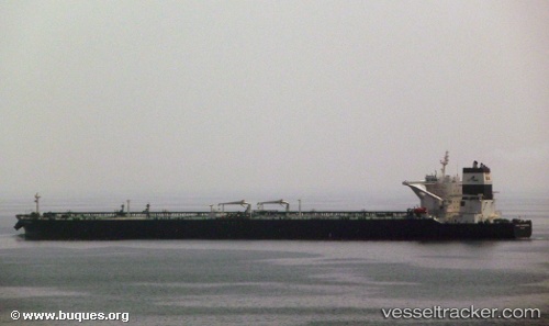
 DHT SUNDARBANS
Current Status
Where is the vessel?
DHT SUNDARBANS is currently in 32 nm S of Tangkak, based on AIS data received about 14h ago.
Latest AIS update:
Current position: 1.73967° N, 102.58209° E (32 nm S of Tangkak)
Average speed (last 7 days): Loading…
Average speed (last 30 days): Loading…
Vessel profile: DHT SUNDARBANS is a Crude Oil Tanker with dimensions m x m.
This page combines live AIS, route history, probable destination signals, nearby traffic, and port activity for practical vessel monitoring.
The current position of vessel DHT SUNDARBANS is 1.73967 lat / 102.58209 lng. Updated: 2026-05-19 19:20:27 UTCNearest reference points:
- 29 nm W of Parit Raja
- 12 nm S of Tangkak
- Near Malacca
Currently sailing under the flag of Marshall Islands ![]()
Details:
Live Vessel DHT SUNDARBANS Analytics (details, animations, etc.)
Recent AIS points (UTC):
2026-05-19 15:31:18 UTC · 2.00864, 102.01215 · SOG 11.1 kn · COG 118°2026-05-19 16:55:16 UTC · 1.89619, 102.23050 · SOG 9.8 kn · COG 116°
2026-05-19 18:11:27 UTC · 1.81114, 102.41414 · SOG 9.5 kn · COG 116°
2026-05-19 19:20:27 UTC · 1.73967, 102.58209 · SOG 9.3 kn · COG 121°