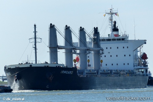
 IRMGARD
Current Status
Where is the vessel?
IRMGARD is currently in Near Bejaia, based on AIS data received about 14h ago.
Latest AIS update:
Current position: 36.72617° N, 5.18882° E (Near Bejaia)
Average speed (last 7 days): Loading…
Average speed (last 30 days): Loading…
Vessel profile: IRMGARD is a Bulk Carrier with dimensions m x m.
This page combines live AIS, route history, probable destination signals, nearby traffic, and port activity for practical vessel monitoring.
The current position of vessel IRMGARD is 36.72617 lat / 5.18882 lng. Updated: 2026-05-19 01:47:40 UTCNearest reference points:
- Near Bejaia
- Near Carmona
- Near Zamoranos
Currently sailing under the flag of Liberia ![]()
Details:
Live Vessel IRMGARD Analytics (details, animations, etc.)
Recent AIS points (UTC):
2026-05-18 22:56:40 UTC · 36.72562, 5.18712 · SOG 0 kn · COG 156°2026-05-19 00:02:37 UTC · 36.72593, 5.18735 · SOG 0 kn · COG 165°
2026-05-19 01:20:37 UTC · 36.72622, 5.18897 · SOG 0 kn · COG 205°
2026-05-19 01:47:40 UTC · 36.72617, 5.18882 · SOG 0 kn · COG 203°