 NALEY TIDE
Current Status
Where is the vessel?
NALEY TIDE is currently in Near Maryfield, Bressay, based on AIS data received about 15h ago.
Latest AIS update:
Current position: 60.18011° N, 1.15317° W (Near Maryfield, Bressay)
Average speed (last 7 days): Loading…
Average speed (last 30 days): Loading…
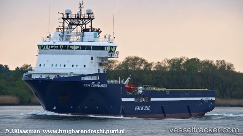
Vessel profile: NALEY TIDE is a Offshore Supply Ship with dimensions m x m.
This page combines live AIS, route history, probable destination signals, nearby traffic, and port activity for practical vessel monitoring.
The current position of vessel NALEY TIDE is 60.18011 lat / -1.15317 lng. Updated: 2026-05-21 22:24:52 UTCNearest reference points:
- 32 nm NW of Eshaness
- 36 nm NW of Ham Voe, Foula
- Near Tingwall
Currently sailing under the flag of United Kingdom ![]()
Details:
Live Vessel NALEY TIDE Analytics (details, animations, etc.)
Recent AIS points (UTC):
2026-05-21 19:48:52 UTC · 60.18014, -1.15318 · SOG 0 kn · COG 65°2026-05-21 19:57:51 UTC · 60.18012, -1.15318 · SOG 0 kn · COG 65°
2026-05-21 22:06:51 UTC · 60.18012, -1.15320 · SOG 0 kn · COG 65°
2026-05-21 22:24:52 UTC · 60.18011, -1.15317 · SOG 0 kn · COG 65°