 LEADER
Current Status
Where is the vessel?
LEADER is currently in 87 nm S of Mul Dwårka, based on AIS data received about 15h ago.
Latest AIS update:
Current position: 19.30585° N, 70.59059° E (87 nm S of Mul Dwårka)
Average speed (last 7 days): Loading…
Average speed (last 30 days): Loading…
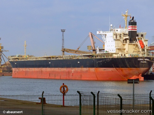
Vessel profile: LEADER is a Bulk Carrier with dimensions m x m.
This page combines live AIS, route history, probable destination signals, nearby traffic, and port activity for practical vessel monitoring.
The current position of vessel LEADER is 19.30585 lat / 70.59059 lng. Updated: 2026-05-19 12:45:35 UTCNearest reference points:
- 33 nm S of Mul Dwårka
- Near Jafarabad
- 17 nm SE of Port Pipavav
Currently sailing under the flag of Marshall Islands ![]()
Details:
Live Vessel LEADER Analytics (details, animations, etc.)
Recent AIS points (UTC):
2026-05-19 10:09:44 UTC · 19.75689, 70.90564 · SOG 11.6 kn · COG -1°2026-05-19 11:41:14 UTC · 19.49681, 70.72513 · SOG 12.8 kn · COG 215°
2026-05-19 12:45:35 UTC · 19.30585, 70.59059 · SOG 12.9 kn · COG 221°
2026-05-19 12:45:35 UTC · 19.30585, 70.59059 · SOG 12.9 kn · COG 221°