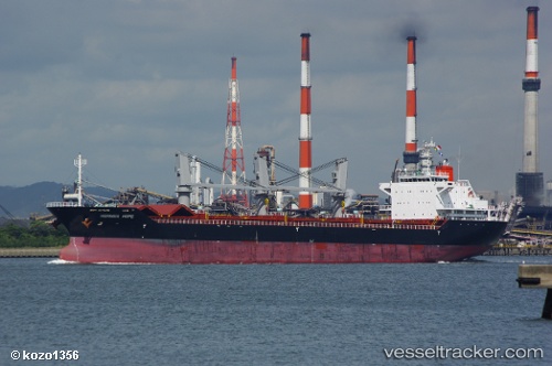
 AVERY CHIARA
Current Status
Where is the vessel?
AVERY CHIARA is currently in 14 nm SW of TANJUNG PELEPAS, based on AIS data received about 14h ago.
Latest AIS update:
Current position: 1.23360° N, 103.34596° E (14 nm SW of TANJUNG PELEPAS)
Average speed (last 7 days): Loading…
Average speed (last 30 days): Loading…
Vessel profile: AVERY CHIARA is a Bulk Carrier with dimensions m x m.
This page combines live AIS, route history, probable destination signals, nearby traffic, and port activity for practical vessel monitoring.
The current position of vessel AVERY CHIARA is 1.23360 lat / 103.34596 lng. Updated: 2026-05-21 13:49:52 UTCNearest reference points:
- Near Tanjungbalai
- 15 nm W of Tanjong Bin
- 19 nm W of Tanjong Bin
Currently sailing under the flag of Indonesia ![]()
Details:
Live Vessel AVERY CHIARA Analytics (details, animations, etc.)
Recent AIS points (UTC):
2026-05-21 10:13:46 UTC · 1.47268, 102.97955 · SOG 7.7 kn · COG 127°2026-05-21 12:14:21 UTC · 1.32848, 103.18919 · SOG 7 kn · COG 124°
2026-05-21 13:33:31 UTC · 1.25412, 103.32394 · SOG 6.6 kn · COG 120°
2026-05-21 13:49:52 UTC · 1.23360, 103.34596 · SOG 6.6 kn · COG 135°