 SKY HOPE
Current Status
Where is the vessel?
SKY HOPE is currently in 42 nm N of Honghai, based on AIS data received about 14h ago.
Latest AIS update:
Current position: 20.33280° N, 111.20600° E (42 nm N of Honghai)
Average speed (last 7 days): Loading…
Average speed (last 30 days): Loading…
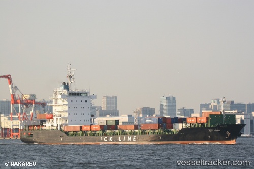
Vessel profile: SKY HOPE is a Cargo with dimensions m x m.
This page combines live AIS, route history, probable destination signals, nearby traffic, and port activity for practical vessel monitoring.
The current position of vessel SKY HOPE is 20.33280 lat / 111.20600 lng. Updated: 2026-05-20 07:27:00 UTCNearest reference points:
- 57 nm NE of Honghai
- 22 nm E of Dongjiaotou Pt
- 34 nm S of Dianbai
Currently sailing under the flag of South Korea ![]()
Details:
Live Vessel SKY HOPE Analytics (details, animations, etc.)
Recent AIS points (UTC):
2026-05-20 03:34:45 UTC · 20.68478, 112.06238 · SOG 13 kn · COG 238°2026-05-20 04:29:49 UTC · 20.59087, 111.86229 · SOG 13 kn · COG 248°
2026-05-20 06:18:43 UTC · 20.43719, 111.45213 · SOG 13.6 kn · COG -1°
2026-05-20 07:27:00 UTC · 20.33280, 111.20600 · SOG 13.3 kn · COG 248°