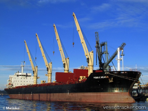
 PEBBLE BEACH
Current Status
Where is the vessel?
PEBBLE BEACH is currently in 79 nm S of Tsiombe, based on AIS data received about 15h ago.
Latest AIS update:
Current position: 26.59573° S, 45.78260° E (79 nm S of Tsiombe)
Average speed (last 7 days): Loading…
Average speed (last 30 days): Loading…
Vessel profile: PEBBLE BEACH is a Bulk Carrier with dimensions m x m.
This page combines live AIS, route history, probable destination signals, nearby traffic, and port activity for practical vessel monitoring.
The current position of vessel PEBBLE BEACH is -26.59573 lat / 45.78260 lng. Updated: 2026-05-21 12:00:29 UTCNearest reference points:
- 106 nm S of Tsiombe
- 70 nm SW of Tsiombe
- 174 nm S of Ambovombe
Currently sailing under the flag of Antigua and Barbuda ![]()
Details:
Live Vessel PEBBLE BEACH Analytics (details, animations, etc.)
Recent AIS points (UTC):
2026-05-21 07:38:32 UTC · -26.87259, 46.71566 · SOG 10.9 kn · COG 283°2026-05-21 09:21:37 UTC · -26.77412, 46.36670 · SOG 11.8 kn · COG 289°
2026-05-21 10:55:27 UTC · -26.67448, 46.02412 · SOG 12.9 kn · COG 292°
2026-05-21 12:00:29 UTC · -26.59573, 45.78260 · SOG 12.6 kn · COG 288°