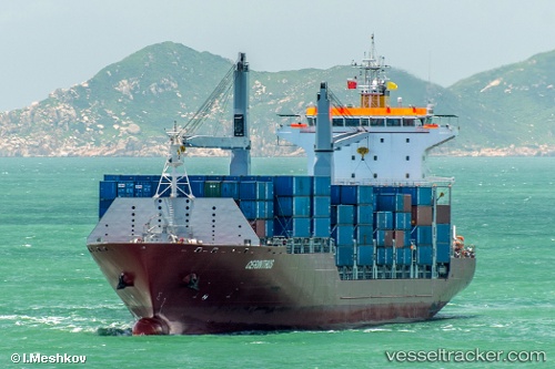
 SONGA DOLPHIN
Current Status
Where is the vessel?
SONGA DOLPHIN is currently in 63 nm SE of Cozumel, based on AIS data received about 14h ago.
Latest AIS update:
Current position: 19.61667° N, 86.35500° W (63 nm SE of Cozumel)
Average speed (last 7 days): Loading…
Average speed (last 30 days): Loading…
Vessel profile: SONGA DOLPHIN is a Container Ship with dimensions m x m.
This page combines live AIS, route history, probable destination signals, nearby traffic, and port activity for practical vessel monitoring.
The current position of vessel SONGA DOLPHIN is 19.61667 lat / -86.35500 lng. Updated: 2026-05-22 10:13:42 UTCNearest reference points:
- Near Puerto Juárez
- 58 nm S of San Julian
- 14 nm SE of Belize
Currently sailing under the flag of Marshall Islands ![]()
Details:
Live Vessel SONGA DOLPHIN Analytics (details, animations, etc.)
Recent AIS points (UTC):
2026-05-22 07:22:40 UTC · 18.90667, -86.63833 · SOG 15 kn · COG -1°2026-05-22 07:49:41 UTC · 19.01667, -86.59500 · SOG 15 kn · COG -1°
2026-05-22 09:58:44 UTC · 19.55333, -86.38167 · SOG 16 kn · COG -1°
2026-05-22 10:13:42 UTC · 19.61667, -86.35500 · SOG 16 kn · COG -1°