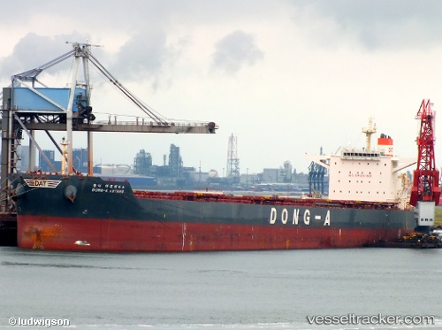
 PARTNERSHIP
Current Status
Where is the vessel?
PARTNERSHIP is currently in 106 nm E of Koodoo Fisheries, based on AIS data received about 15h ago.
Latest AIS update:
Current position: 0.24789° N, 75.13777° E (106 nm E of Koodoo Fisheries)
Average speed (last 7 days): Loading…
Average speed (last 30 days): Loading…
Vessel profile: PARTNERSHIP is a Bulk Carrier with dimensions 292m x 45m.
This page combines live AIS, route history, probable destination signals, nearby traffic, and port activity for practical vessel monitoring.
The current position of vessel PARTNERSHIP is 0.24789 lat / 75.13777 lng. Updated: 2026-05-22 11:35:17 UTCNearest reference points:
- 146 nm E of Koodoo Fisheries
Currently sailing under the flag of Marshall Islands ![]()
PARTNERSHIP built in 2012 year
Deadweight:
179213 tDetails:
Live Vessel PARTNERSHIP Analytics (details, animations, etc.)
Recent AIS points (UTC):
2026-05-22 09:40:17 UTC · 0.00278, 74.90874 · SOG 10.4 kn · COG 35°2026-05-22 10:05:17 UTC · 0.05536, 74.95852 · SOG 10.4 kn · COG 35°
2026-05-22 10:05:17 UTC · 0.05536, 74.95852 · SOG 10.4 kn · COG 35°
2026-05-22 11:35:17 UTC · 0.24789, 75.13777 · SOG 10.6 kn · COG 36°