 ATN LUCKY
Current Status
Where is the vessel?
ATN LUCKY is currently in 257 nm E of Abakaliki, based on AIS data received about 14h ago.
Latest AIS update:
Current position: 6.02167° N, 90.29167° E (257 nm E of Abakaliki)
Average speed (last 7 days): Loading…
Average speed (last 30 days): Loading…
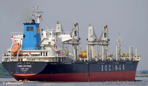
Vessel profile: ATN LUCKY is a Bulk Carrier with dimensions m x m.
This page combines live AIS, route history, probable destination signals, nearby traffic, and port activity for practical vessel monitoring.
The current position of vessel ATN LUCKY is 6.02167 lat / 90.29167 lng. Updated: 2026-05-21 04:51:03 UTCNearest reference points:
- 243 nm E of Abakaliki
- 172 nm W of LHOKNGA
- 160 nm W of Sebang
Currently sailing under the flag of Panama ![]()
Details:
Live Vessel ATN LUCKY Analytics (details, animations, etc.)
Recent AIS points (UTC):
2026-05-21 02:11:37 UTC · 6.03817, 90.70927 · SOG 9.2 kn · COG 269°2026-05-21 03:40:08 UTC · 6.03006, 90.47979 · SOG 9.6 kn · COG 269°
2026-05-21 04:51:03 UTC · 6.02167, 90.29167 · SOG 9 kn · COG -1°
2026-05-21 04:51:03 UTC · 6.02167, 90.29167 · SOG 9 kn · COG -1°