 POPEYE
Current Status
Where is the vessel?
POPEYE is currently in 13 nm N of Weihaiwei, based on AIS data received about 14h ago.
Latest AIS update:
Current position: 37.77855° N, 122.17040° E (13 nm N of Weihaiwei)
Average speed (last 7 days): Loading…
Average speed (last 30 days): Loading…
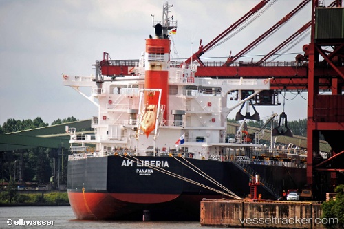
Vessel profile: POPEYE is a Bulk Carrier with dimensions m x m.
This page combines live AIS, route history, probable destination signals, nearby traffic, and port activity for practical vessel monitoring.
The current position of vessel POPEYE is 37.77855 lat / 122.17040 lng. Updated: 2026-05-19 21:21:56 UTCNearest reference points:
- Near Weihaiwei
- 28 nm N of Weihaiwei
- Near Wei Hai Wei
Currently sailing under the flag of Bahamas ![]()
Details:
Live Vessel POPEYE Analytics (details, animations, etc.)
Recent AIS points (UTC):
2026-05-19 17:36:05 UTC · 37.92152, 121.20958 · SOG 12.4 kn · COG 105°2026-05-19 19:37:45 UTC · 37.83636, 121.71761 · SOG 12.2 kn · COG 100°
2026-05-19 20:01:25 UTC · 37.82325, 121.82006 · SOG 12.6 kn · COG 101°
2026-05-19 21:21:56 UTC · 37.77855, 122.17040 · SOG 12 kn · COG 101°