 PETER S
Current Status
Where is the vessel?
PETER S is currently in 148 nm SE of Gopalpur, based on AIS data received about 15h ago.
Latest AIS update:
Current position: 17.35511° N, 86.55770° E (148 nm SE of Gopalpur)
Average speed (last 7 days): Loading…
Average speed (last 30 days): Loading…
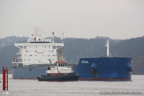
Vessel profile: PETER S is a Cargo with dimensions m x m.
This page combines live AIS, route history, probable destination signals, nearby traffic, and port activity for practical vessel monitoring.
The current position of vessel PETER S is 17.35511 lat / 86.55770 lng. Updated: 2026-05-18 19:49:50 UTCNearest reference points:
- 112 nm SE of Gopalpur
- Near Gopalpur
Currently sailing under the flag of Liberia ![]()
Details:
Live Vessel PETER S Analytics (details, animations, etc.)
Recent AIS points (UTC):
2026-05-18 16:27:05 UTC · 17.91579, 86.63724 · SOG 10 kn · COG 197°2026-05-18 17:49:39 UTC · 17.69514, 86.59968 · SOG 9.8 kn · COG -1°
2026-05-18 18:59:45 UTC · 17.49995, 86.57703 · SOG 10.3 kn · COG -1°
2026-05-18 19:49:50 UTC · 17.35511, 86.55770 · SOG 10.5 kn · COG -1°