 vesseltracker.com
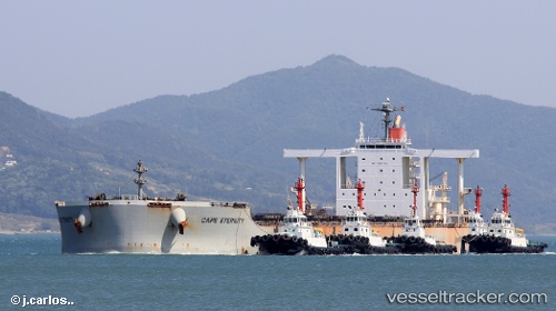
 TITANSHIP
Current Status
Where is the vessel?
TITANSHIP is currently in 15 nm E of Rizhao, based on AIS data received about 15h ago.
Latest AIS update:
Current position: 35.27833° N, 119.81802° E (15 nm E of Rizhao)
Average speed (last 7 days): Loading…
Average speed (last 30 days): Loading…
Vessel profile: TITANSHIP is a Bulk Carrier with dimensions m x m.
This page combines live AIS, route history, probable destination signals, nearby traffic, and port activity for practical vessel monitoring.
The current position of vessel TITANSHIP is 35.27833 lat / 119.81802 lng. Updated: 2026-05-18 01:46:54 UTCNearest reference points:
- 14 nm S of DONGJIAKOU
- 11 nm SE of Rizhao
- Near Rizhao
Currently sailing under the flag of Liberia ![]()
Details:
Live Vessel TITANSHIP Analytics (details, animations, etc.)
Recent AIS points (UTC):
2026-05-17 21:50:58 UTC · 35.27333, 119.81333 · SOG 0 kn · COG -1°2026-05-17 23:57:07 UTC · 35.27500, 119.81333 · SOG 0 kn · COG -1°
2026-05-18 01:30:07 UTC · 35.27833, 119.81667 · SOG 0 kn · COG -1°
2026-05-18 01:46:54 UTC · 35.27833, 119.81802 · SOG 0 kn · COG 205°