 vesseltracker.com
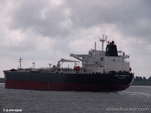
 LADY HENRIETTA
Current Status
Where is the vessel?
LADY HENRIETTA is currently in 185 nm N of ISLA MUJERES, based on AIS data received less than 1h ago.
Latest AIS update:
Current position: 24.29833° N, 87.17833° W (185 nm N of ISLA MUJERES)
Average speed (last 7 days): Loading…
Average speed (last 30 days): Loading…
Vessel profile: LADY HENRIETTA is a Crude Oil Tanker with dimensions 44m x 250m.
This page combines live AIS, route history, probable destination signals, nearby traffic, and port activity for practical vessel monitoring.
The current position of vessel LADY HENRIETTA is 24.29833 lat / -87.17833 lng. Updated: 2026-05-17 17:23:46 UTCCurrently sailing under the flag of Marshall Islands ![]()
LADY HENRIETTA built in 2012 year
Deadweight:
111815 tDetails:
Live Vessel LADY HENRIETTA Analytics (details, animations, etc.)
Recent AIS points (UTC):
2026-05-17 13:32:47 UTC · 24.19333, -87.09667 · SOG 2 kn · COG -1°2026-05-17 15:26:48 UTC · 24.24833, -87.13500 · SOG 1 kn · COG -1°
2026-05-17 16:05:48 UTC · 24.26667, -87.14833 · SOG 2 kn · COG -1°
2026-05-17 17:23:46 UTC · 24.29833, -87.17833 · SOG 1 kn · COG -1°