 vesseltracker.com
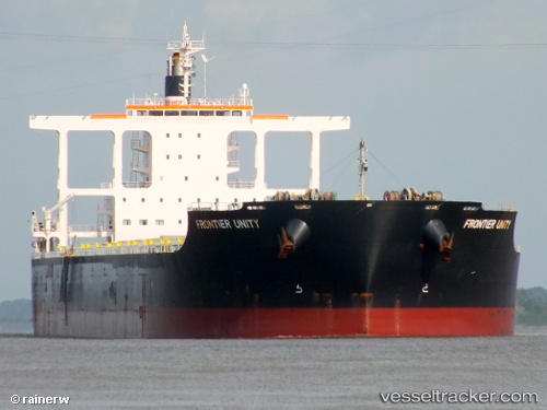
 FRONTIER
Current Status
Where is the vessel?
FRONTIER is currently in 242 nm E of Tongdaemun-Gu, based on AIS data received about 15h ago.
Latest AIS update:
Current position: 37.72106° S, 132.11774° E (242 nm E of Tongdaemun-Gu)
Average speed (last 7 days): Loading…
Average speed (last 30 days): Loading…
Vessel profile: FRONTIER is a Bulk Carrier with dimensions m x m.
This page combines live AIS, route history, probable destination signals, nearby traffic, and port activity for practical vessel monitoring.
The current position of vessel FRONTIER is -37.72106 lat / 132.11774 lng. Updated: 2026-05-18 04:26:14 UTCCurrently sailing under the flag of Liberia ![]()
Details:
Live Vessel FRONTIER Analytics (details, animations, etc.)
Recent AIS points (UTC):
2026-05-18 01:40:11 UTC · -37.60636, 131.48508 · SOG 11.3 kn · COG 104°2026-05-18 01:41:59 UTC · -37.60739, 131.49213 · SOG 11.2 kn · COG 104°
2026-05-18 03:25:35 UTC · -37.67249, 131.88792 · SOG 11.1 kn · COG 108°
2026-05-18 04:26:14 UTC · -37.72106, 132.11774 · SOG 11.2 kn · COG 107°