 MERCUR STAR
Current Status
Where is the vessel?
MERCUR STAR is currently in 67 nm NE of FRASER ISLAND, based on AIS data received about 14h ago.
Latest AIS update:
Current position: 24.76759° S, 154.04697° E (67 nm NE of FRASER ISLAND)
Average speed (last 7 days): Loading…
Average speed (last 30 days): Loading…
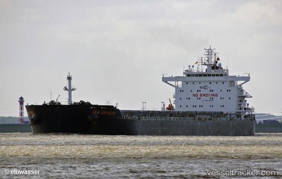
Vessel profile: MERCUR STAR is a Cargo with dimensions m x m.
This page combines live AIS, route history, probable destination signals, nearby traffic, and port activity for practical vessel monitoring.
The current position of vessel MERCUR STAR is -24.76759 lat / 154.04697 lng. Updated: 2026-05-21 19:45:55 UTCNearest reference points:
- Near HERVEY BAY
- Near Tin Can Bay
- Near Bundaberg
Currently sailing under the flag of Liberia ![]()
Details:
Live Vessel MERCUR STAR Analytics (details, animations, etc.)
Recent AIS points (UTC):
2026-05-21 16:33:33 UTC · -24.28833, 154.02834 · SOG 9 kn · COG -1°2026-05-21 17:30:34 UTC · -24.42667, 153.99167 · SOG 9 kn · COG -1°
2026-05-21 19:41:03 UTC · -24.75496, 154.04503 · SOG 8.5 kn · COG 168°
2026-05-21 19:45:55 UTC · -24.76759, 154.04697 · SOG 9.9 kn · COG 169°