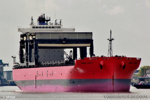
 SAGA FUJI
Current Status
Where is the vessel?
SAGA FUJI is currently in Near Mayport, based on AIS data received about 15h ago.
Latest AIS update:
Current position: 30.39010° N, 81.46967° W (Near Mayport)
Average speed (last 7 days): Loading…
Average speed (last 30 days): Loading…
Vessel profile: SAGA FUJI is a General Cargo with dimensions m x m.
This page combines live AIS, route history, probable destination signals, nearby traffic, and port activity for practical vessel monitoring.
The current position of vessel SAGA FUJI is 30.39010 lat / -81.46967 lng. Updated: 2026-05-19 02:19:59 UTCNearest reference points:
- Near Jacksonville
- Near Ponte Vedra
- Near Fernandina
Currently sailing under the flag of Bahamas ![]()
Details:
Live Vessel SAGA FUJI Analytics (details, animations, etc.)
Recent AIS points (UTC):
2026-05-18 22:38:56 UTC · 30.38822, -81.54627 · SOG 0.1 kn · COG 259°2026-05-18 23:35:54 UTC · 30.38820, -81.54629 · SOG 0.1 kn · COG 258°
2026-05-19 01:52:18 UTC · 30.38707, -81.53827 · SOG 6.1 kn · COG 76°
2026-05-19 02:19:59 UTC · 30.39010, -81.46967 · SOG 7.6 kn · COG 128°