 vesseltracker.com
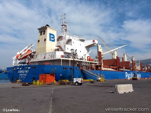
 JAMAICA BAY
Current Status
Where is the vessel?
JAMAICA BAY is currently in Near Sao Francisco Do Sul, based on AIS data received about 14h ago.
Latest AIS update:
Current position: 26.23693° S, 48.63976° W (Near Sao Francisco Do Sul)
Average speed (last 7 days): Loading…
Average speed (last 30 days): Loading…
Vessel profile: JAMAICA BAY is a Bulk Carrier with dimensions m x m.
This page combines live AIS, route history, probable destination signals, nearby traffic, and port activity for practical vessel monitoring.
The current position of vessel JAMAICA BAY is -26.23693 lat / -48.63976 lng. Updated: 2026-05-18 09:35:48 UTCNearest reference points:
- Near Itajai
- 10 nm NE of CAMBORIU
- 24 nm E of Caioba
Currently sailing under the flag of Singapore ![]()
Details:
Live Vessel JAMAICA BAY Analytics (details, animations, etc.)
Recent AIS points (UTC):
2026-05-18 06:14:51 UTC · -26.23691, -48.63973 · SOG 0 kn · COG 138°2026-05-18 07:56:55 UTC · -26.23680, -48.63984 · SOG 0 kn · COG 137°
2026-05-18 07:59:55 UTC · -26.23694, -48.63971 · SOG 0 kn · COG 137°
2026-05-18 09:35:48 UTC · -26.23693, -48.63976 · SOG 0 kn · COG 138°