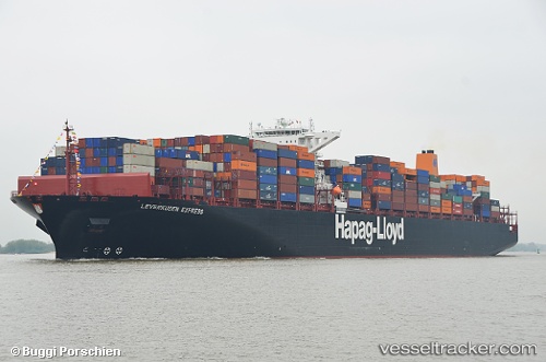
 LEVERKUSEN EXPRESS
Current Status
Where is the vessel?
LEVERKUSEN EXPRESS is currently in 220 nm N of Pereybèré, based on AIS data received about 14h ago.
Latest AIS update:
Current position: 16.35167° S, 57.04833° E (220 nm N of Pereybèré)
Average speed (last 7 days): Loading…
Average speed (last 30 days): Loading…
Vessel profile: LEVERKUSEN EXPRESS is a Container Ship with dimensions m x m.
This page combines live AIS, route history, probable destination signals, nearby traffic, and port activity for practical vessel monitoring.
The current position of vessel LEVERKUSEN EXPRESS is -16.35167 lat / 57.04833 lng. Updated: 2026-05-19 07:50:12 UTCNearest reference points:
- 164 nm NW of Pointe aux Canonniers
Currently sailing under the flag of Liberia ![]()
Details:
Live Vessel LEVERKUSEN EXPRESS Analytics (details, animations, etc.)
Recent AIS points (UTC):
2026-05-19 04:18:22 UTC · -17.14507, 56.28285 · SOG 17.9 kn · COG 46°2026-05-19 06:23:04 UTC · -16.68836, 56.73823 · SOG 18.4 kn · COG 46°
2026-05-19 07:44:32 UTC · -16.37430, 57.02918 · SOG 18.4 kn · COG 48°
2026-05-19 07:50:12 UTC · -16.35167, 57.04833 · SOG 18 kn · COG -1°