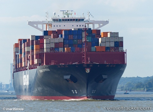
 ULSAN EXPRESS
Current Status
Where is the vessel?
ULSAN EXPRESS is currently in 47 nm S of West Bank, based on AIS data received about 15h ago.
Latest AIS update:
Current position: 33.75578° S, 28.25887° E (47 nm S of West Bank)
Average speed (last 7 days): Loading…
Average speed (last 30 days): Loading…
Vessel profile: ULSAN EXPRESS is a Container Ship with dimensions m x m.
This page combines live AIS, route history, probable destination signals, nearby traffic, and port activity for practical vessel monitoring.
The current position of vessel ULSAN EXPRESS is -33.75578 lat / 28.25887 lng. Updated: 2026-05-21 19:36:52 UTCNearest reference points:
- 23 nm E of Port Saint John's
Currently sailing under the flag of Liberia ![]()
Details:
Live Vessel ULSAN EXPRESS Analytics (details, animations, etc.)
Recent AIS points (UTC):
2026-05-21 16:22:43 UTC · -34.10587, 27.37512 · SOG 15.6 kn · COG 63°2026-05-21 17:49:17 UTC · -33.94444, 27.77773 · SOG 15.1 kn · COG 60°
2026-05-21 19:15:17 UTC · -33.79149, 28.16090 · SOG 14.7 kn · COG 60°
2026-05-21 19:36:52 UTC · -33.75578, 28.25887 · SOG 14.7 kn · COG 63°