 HADAR
HADAR
Current Status
Where is the vessel?
HADAR is currently in Near Tema, based on AIS data received about 14h ago.
Latest AIS update:
Current position: 5.62631° N, 0.00600° E (Near Tema)
Average speed (last 7 days): Loading…
Average speed (last 30 days): Loading…
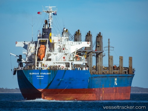
Vessel profile: HADAR is a Bulk Carrier with dimensions 169m x 27m.
This page combines live AIS, route history, probable destination signals, nearby traffic, and port activity for practical vessel monitoring.
The current position of vessel HADAR is 5.62631 lat / 0.00600 lng. Updated: 2026-05-20 16:50:00 UTCNearest reference points:
- Near Ablogamé
- Near Sekondi
- Near Takoradi
Currently sailing under the flag of Liberia ![]()
HADAR built in 2012 year
Deadweight:
28236 tDetails:
Live Vessel HADAR Analytics (details, animations, etc.)
Recent AIS points (UTC):
2026-05-20 13:23:01 UTC · 5.62634, 0.00598 · SOG 0.1 kn · COG 217°2026-05-20 13:38:00 UTC · 5.62632, 0.00595 · SOG 0.1 kn · COG 217°
2026-05-20 16:05:00 UTC · 5.62631, 0.00595 · SOG 0 kn · COG 217°
2026-05-20 16:50:00 UTC · 5.62631, 0.00600 · SOG 0 kn · COG 217°