 AL WATAN
Current Status
Where is the vessel?
AL WATAN is currently in 10 nm NW of Rozi, based on AIS data received about 14h ago.
Latest AIS update:
Current position: 22.71500° N, 69.93833° E (10 nm NW of Rozi)
Average speed (last 7 days): Loading…
Average speed (last 30 days): Loading…
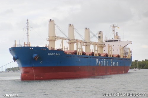
Vessel profile: AL WATAN is a Bulk Carrier with dimensions m x m.
This page combines live AIS, route history, probable destination signals, nearby traffic, and port activity for practical vessel monitoring.
The current position of vessel AL WATAN is 22.71500 lat / 69.93833 lng. Updated: 2026-05-21 05:02:27 UTCNearest reference points:
- 12 nm N of Rozi
- 15 nm N of Rozi
- Near SIKKA
Currently sailing under the flag of Liberia ![]()
Details:
Live Vessel AL WATAN Analytics (details, animations, etc.)
Recent AIS points (UTC):
2026-05-21 02:09:43 UTC · 22.71694, 69.93889 · SOG 0.1 kn · COG 50°2026-05-21 02:36:44 UTC · 22.71718, 69.93881 · SOG 0.1 kn · COG 62°
2026-05-21 03:48:46 UTC · 22.71607, 69.93936 · SOG 0.2 kn · COG 84°
2026-05-21 05:02:27 UTC · 22.71500, 69.93833 · SOG 0 kn · COG -1°