 Friendly Islands
Current Status
Where is the vessel?
Friendly Islands is currently in 220 nm N of Nemba, based on AIS data received about 15h ago.
Latest AIS update:
Current position: 7.19919° S, 164.85266° E (220 nm N of Nemba)
Average speed (last 7 days): Loading…
Average speed (last 30 days): Loading…
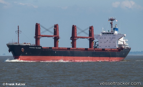
Vessel profile: Friendly Islands is a Bulk Carrier with dimensions 169m x 27m.
This page combines live AIS, route history, probable destination signals, nearby traffic, and port activity for practical vessel monitoring.
The current position of vessel Friendly Islands is -7.19919 lat / 164.85266 lng. Updated: 2026-05-21 11:26:14 UTCCurrently sailing under the flag of Liberia ![]()
Friendly Islands built in 2012 year
Deadweight:
28387 tDetails:
Live Vessel Friendly Islands Analytics (details, animations, etc.)
Recent AIS points (UTC):
2026-05-21 08:10:19 UTC · -6.53006, 165.06335 · SOG 12.5 kn · COG 195°2026-05-21 09:52:49 UTC · -6.87810, 164.95055 · SOG 12.8 kn · COG 196°
2026-05-21 10:15:54 UTC · -6.95691, 164.92538 · SOG 12.8 kn · COG 196°
2026-05-21 11:26:14 UTC · -7.19919, 164.85266 · SOG 12.9 kn · COG 195°