 Daytona Beach
Current Status
Where is the vessel?
Daytona Beach is currently in Near Beira, based on AIS data received about 14h ago.
Latest AIS update:
Current position: 19.81555° S, 34.83478° E (Near Beira)
Average speed (last 7 days): Loading…
Average speed (last 30 days): Loading…
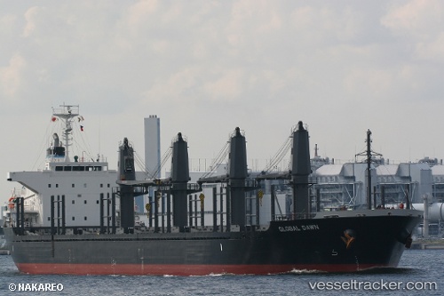
Vessel profile: Daytona Beach is a Bulk Carrier with dimensions 170m x 27m.
This page combines live AIS, route history, probable destination signals, nearby traffic, and port activity for practical vessel monitoring.
The current position of vessel Daytona Beach is -19.81555 lat / 34.83478 lng. Updated: 2026-05-21 16:23:23 UTCNearest reference points:
- Near Beira
- 14 nm E of Beira
- 21 nm SE of Beira
Currently sailing under the flag of Liberia ![]()
Daytona Beach built in 2012 year
Deadweight:
28233 tDetails:
Live Vessel Daytona Beach Analytics (details, animations, etc.)
Recent AIS points (UTC):
2026-05-21 13:05:23 UTC · -19.81554, 34.83480 · SOG 0 kn · COG 353°2026-05-21 13:53:23 UTC · -19.81552, 34.83481 · SOG 0 kn · COG 353°
2026-05-21 16:11:23 UTC · -19.81554, 34.83479 · SOG 0 kn · COG 353°
2026-05-21 16:23:23 UTC · -19.81555, 34.83478 · SOG 0 kn · COG 353°