 Hayabusa
Current Status
Where is the vessel?
Hayabusa is currently in 26 nm SE of OMAEZAKI, based on AIS data received about 14h ago.
Latest AIS update:
Current position: 34.26895° N, 138.49911° E (26 nm SE of OMAEZAKI)
Average speed (last 7 days): Loading…
Average speed (last 30 days): Loading…
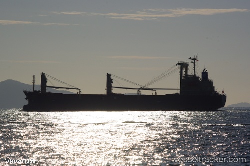
Vessel profile: Hayabusa is a General Cargo Ship with dimensions 121m x 19m.
This page combines live AIS, route history, probable destination signals, nearby traffic, and port activity for practical vessel monitoring.
The current position of vessel Hayabusa is 34.26895 lat / 138.49911 lng. Updated: 2026-05-20 18:59:52 UTCNearest reference points:
- Near Iruma
- Near OMAEZAKI
- 10 nm SE of Iruma
Currently sailing under the flag of Panama ![]()
Details:
Live Vessel Hayabusa Analytics (details, animations, etc.)
Recent AIS points (UTC):
2026-05-20 15:52:02 UTC · 34.35201, 138.20111 · SOG 11.8 kn · COG 121°2026-05-20 16:54:03 UTC · 34.27502, 138.40779 · SOG 8.9 kn · COG 105°
2026-05-20 18:19:53 UTC · 34.26201, 138.49292 · SOG 0.6 kn · COG 109°
2026-05-20 18:59:52 UTC · 34.26895, 138.49911 · SOG 0.7 kn · COG 106°