 DEBI
DEBI
Current Status
Where is the vessel?
DEBI is currently in Near Paradip, based on AIS data received about 16h ago.
Latest AIS update:
Current position: 20.28180° N, 86.79374° E (Near Paradip)
Average speed (last 7 days): Loading…
Average speed (last 30 days): Loading…
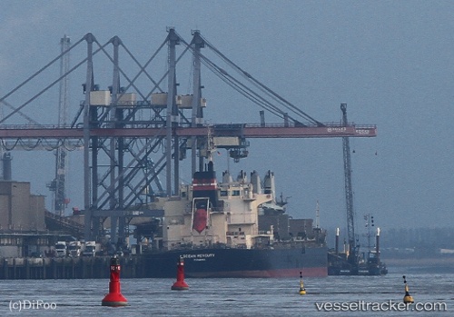
Vessel profile: DEBI is a Bulk Carrier with dimensions m x m.
This page combines live AIS, route history, probable destination signals, nearby traffic, and port activity for practical vessel monitoring.
The current position of vessel DEBI is 20.28180 lat / 86.79374 lng. Updated: 2026-05-18 19:52:50 UTCNearest reference points:
- Near Paradip
- Near Paradip Garh
- 45 nm S of Contai
Currently sailing under the flag of Panama ![]()
Details:
Live Vessel DEBI Analytics (details, animations, etc.)
Recent AIS points (UTC):
2026-05-18 16:25:50 UTC · 20.28182, 86.79366 · SOG 0.3 kn · COG 202°2026-05-18 17:49:50 UTC · 20.28176, 86.79376 · SOG 0.3 kn · COG 226°
2026-05-18 18:58:51 UTC · 20.28177, 86.79377 · SOG 0.4 kn · COG 224°
2026-05-18 19:52:50 UTC · 20.28180, 86.79374 · SOG 0.3 kn · COG 215°