 vesseltracker.com
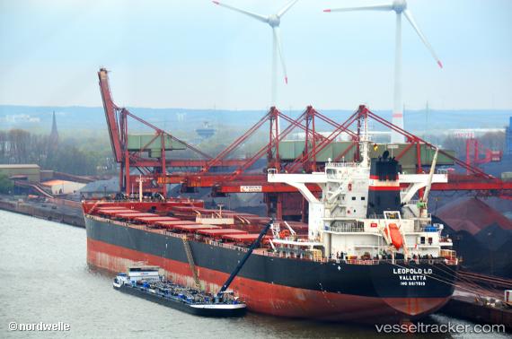
 TOMINI K2
Current Status
Where is the vessel?
TOMINI K2 is currently in 48 nm NE of Mackay, based on AIS data received about 14h ago.
Latest AIS update:
Current position: 20.74667° S, 149.96167° E (48 nm NE of Mackay)
Average speed (last 7 days): Loading…
Average speed (last 30 days): Loading…
Vessel profile: TOMINI K2 is a Cargo with dimensions m x m.
This page combines live AIS, route history, probable destination signals, nearby traffic, and port activity for practical vessel monitoring.
The current position of vessel TOMINI K2 is -20.74667 lat / 149.96167 lng. Updated: 2026-05-17 23:59:04 UTCNearest reference points:
- Near Mackay
- Near Whitsunday Island
- Near AIRLIE
Currently sailing under the flag of Marshall Islands ![]()
Details:
Live Vessel TOMINI K2 Analytics (details, animations, etc.)
Recent AIS points (UTC):
2026-05-17 20:14:06 UTC · -20.42333, 150.37833 · SOG 0 kn · COG -1°2026-05-17 21:29:06 UTC · -20.42667, 150.37833 · SOG 0 kn · COG -1°
2026-05-17 21:53:04 UTC · -20.43500, 150.38499 · SOG 7 kn · COG -1°
2026-05-17 23:59:04 UTC · -20.74667, 149.96167 · SOG 14 kn · COG -1°