 AFRICAN SWIFT
Current Status
Where is the vessel?
AFRICAN SWIFT is currently in 11 nm SW of Nueva Palmira, based on AIS data received about 15h ago.
Latest AIS update:
Current position: 34.02660° S, 58.55588° W (11 nm SW of Nueva Palmira)
Average speed (last 7 days): Loading…
Average speed (last 30 days): Loading…
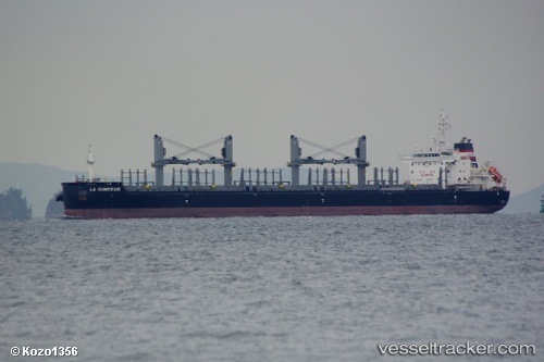
Vessel profile: AFRICAN SWIFT is a Bulk Carrier with dimensions m x m.
This page combines live AIS, route history, probable destination signals, nearby traffic, and port activity for practical vessel monitoring.
The current position of vessel AFRICAN SWIFT is -34.02660 lat / -58.55588 lng. Updated: 2026-05-20 10:41:37 UTCNearest reference points:
- Near Avellaneda
- Near Dock Sur
- Near JUAN LACAZE
Currently sailing under the flag of Bahamas ![]()
Details:
Live Vessel AFRICAN SWIFT Analytics (details, animations, etc.)
Recent AIS points (UTC):
2026-05-20 07:16:10 UTC · -34.28118, -58.03982 · SOG 6.8 kn · COG 341°2026-05-20 07:26:11 UTC · -34.26314, -58.05167 · SOG 7.3 kn · COG 328°
2026-05-20 10:00:10 UTC · -34.00460, -58.42471 · SOG 9.8 kn · COG 277°
2026-05-20 10:41:37 UTC · -34.02660, -58.55588 · SOG 10.4 kn · COG 276°