 vesseltracker.com
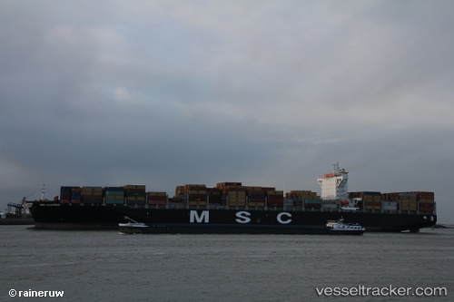
 EMERALD TOWER
Current Status
Where is the vessel?
EMERALD TOWER is currently in 42 nm N of Krueng Geukueh, based on AIS data received about 15h ago.
Latest AIS update:
Current position: 5.91512° N, 96.83913° E (42 nm N of Krueng Geukueh)
Average speed (last 7 days): Loading…
Average speed (last 30 days): Loading…
Vessel profile: EMERALD TOWER is a Container Ship with dimensions m x m.
This page combines live AIS, route history, probable destination signals, nearby traffic, and port activity for practical vessel monitoring.
The current position of vessel EMERALD TOWER is 5.91512 lat / 96.83913 lng. Updated: 2026-05-18 11:44:27 UTCNearest reference points:
- 45 nm NE of Krueng Geukueh
- 34 nm N of Langsa Venture FPSO
- 45 nm N of Langsa Venture FPSO
Currently sailing under the flag of Liberia ![]()
Details:
Live Vessel EMERALD TOWER Analytics (details, animations, etc.)
Recent AIS points (UTC):
2026-05-18 08:12:46 UTC · 5.98695, 96.80735 · SOG 1 kn · COG 190°2026-05-18 10:09:05 UTC · 5.94509, 96.81863 · SOG 1.2 kn · COG 201°
2026-05-18 10:31:07 UTC · 5.93749, 96.82146 · SOG 1.4 kn · COG 200°
2026-05-18 11:44:27 UTC · 5.91512, 96.83913 · SOG 1.5 kn · COG 196°