 PRINCESS SHAIMAA
Current Status
Where is the vessel?
PRINCESS SHAIMAA is currently in 39 nm E of Utiel, based on AIS data received about 14h ago.
Latest AIS update:
Current position: 39.69742° N, 10.34212° W (39 nm E of Utiel)
Average speed (last 7 days): Loading…
Average speed (last 30 days): Loading…
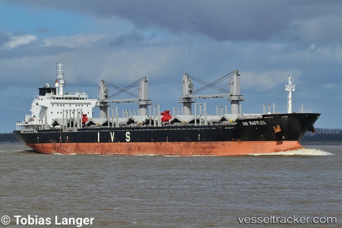
Vessel profile: PRINCESS SHAIMAA is a Bulk Carrier with dimensions m x m.
This page combines live AIS, route history, probable destination signals, nearby traffic, and port activity for practical vessel monitoring.
The current position of vessel PRINCESS SHAIMAA is 39.69742 lat / -10.34212 lng. Updated: 2026-05-19 15:52:56 UTCNearest reference points:
- Near PENICHE
- 18 nm W of Colares
- 52 nm W of Canas de Santa Maria
Currently sailing under the flag of Malta ![]()
Details:
Live Vessel PRINCESS SHAIMAA Analytics (details, animations, etc.)
Recent AIS points (UTC):
2026-05-19 12:26:41 UTC · 40.31167, -10.28833 · SOG 10 kn · COG -1°2026-05-19 13:32:41 UTC · 40.11500, -10.29833 · SOG 10 kn · COG -1°
2026-05-19 13:32:41 UTC · 40.11500, -10.29833 · SOG 10 kn · COG -1°
2026-05-19 15:52:56 UTC · 39.69742, -10.34212 · SOG 10.9 kn · COG 183°