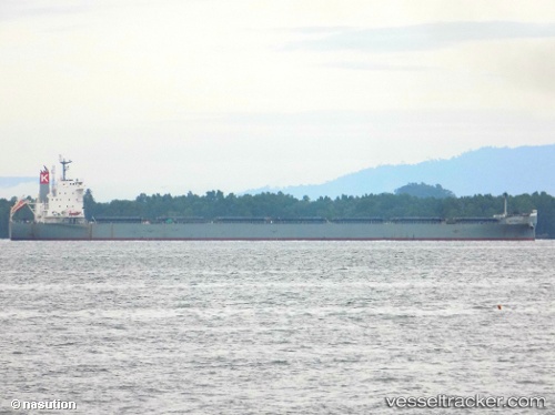
 VITTORIA
Current Status
Where is the vessel?
VITTORIA is currently in 32 nm NE of Woolgoolga, based on AIS data received about 16h ago.
Latest AIS update:
Current position: 29.86357° S, 153.73703° E (32 nm NE of Woolgoolga)
Average speed (last 7 days): Loading…
Average speed (last 30 days): Loading…
Vessel profile: VITTORIA is a Bulk Carrier with dimensions m x m.
This page combines live AIS, route history, probable destination signals, nearby traffic, and port activity for practical vessel monitoring.
The current position of vessel VITTORIA is -29.86357 lat / 153.73703 lng. Updated: 2026-05-18 23:56:22 UTCNearest reference points:
- Near Gold Coast
- Near Labrador
- Near Biggera Waters
Currently sailing under the flag of Malaysia ![]()
Details:
Live Vessel VITTORIA Analytics (details, animations, etc.)
Recent AIS points (UTC):
2026-05-18 19:21:57 UTC · -28.86201, 153.98909 · SOG 14.2 kn · COG 197°2026-05-18 21:51:51 UTC · -29.41328, 153.82954 · SOG 13.1 kn · COG 192°
2026-05-18 22:09:02 UTC · -29.47490, 153.81773 · SOG 12.9 kn · COG 188°
2026-05-18 23:56:22 UTC · -29.86357, 153.73703 · SOG 13.2 kn · COG 194°