 ALTZEK
Current Status
Where is the vessel?
ALTZEK is currently in Near SALDANHA, based on AIS data received about 16h ago.
Latest AIS update:
Current position: 33.04638° S, 17.99394° E (Near SALDANHA)
Average speed (last 7 days): Loading…
Average speed (last 30 days): Loading…
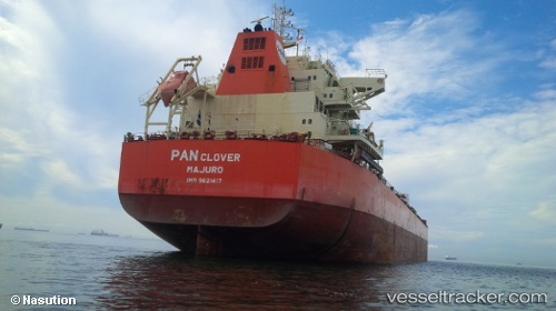
Vessel profile: ALTZEK is a Bulk Carrier with dimensions m x m.
This page combines live AIS, route history, probable destination signals, nearby traffic, and port activity for practical vessel monitoring.
The current position of vessel ALTZEK is -33.04638 lat / 17.99394 lng. Updated: 2026-05-22 23:24:48 UTCNearest reference points:
- Near Saint Helena Bay
- Near Laaiplek
- 12 nm W of ROBBEN ISLAND
Currently sailing under the flag of Liberia ![]()
Details:
Live Vessel ALTZEK Analytics (details, animations, etc.)
Recent AIS points (UTC):
2026-05-22 19:57:46 UTC · -33.04611, 17.99315 · SOG 0.1 kn · COG 187°2026-05-22 21:42:46 UTC · -33.04619, 17.99282 · SOG 0.2 kn · COG 176°
2026-05-22 23:06:46 UTC · -33.04625, 17.99366 · SOG 0.1 kn · COG 195°
2026-05-22 23:24:48 UTC · -33.04638, 17.99394 · SOG 0.2 kn · COG 202°