 Cap San Antonio
Current Status
Where is the vessel?
Cap San Antonio is currently in 43 nm S of Souillac, based on AIS data received about 14h ago.
Latest AIS update:
Current position: 21.23387° S, 57.40842° E (43 nm S of Souillac)
Average speed (last 7 days): Loading…
Average speed (last 30 days): Loading…
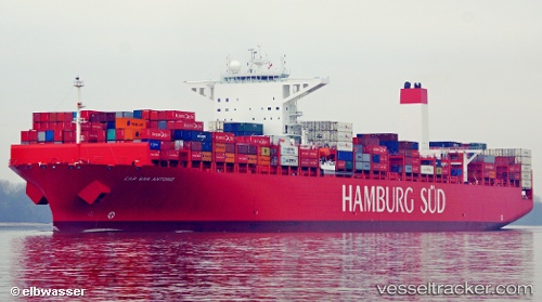
Vessel profile: Cap San Antonio is a Container Ship with dimensions 333m x 333m.
This page combines live AIS, route history, probable destination signals, nearby traffic, and port activity for practical vessel monitoring.
The current position of vessel Cap San Antonio is -21.23387 lat / 57.40842 lng. Updated: 2026-05-18 22:20:59 UTCNearest reference points:
- Near Port Louis
- 61 nm NW of Al Azaiba
Currently sailing under the flag of Denmark ![]()
Cap San Antonio built in 2014 year
Deadweight:
124424 tDetails:
Live Vessel Cap San Antonio Analytics (details, animations, etc.)
Recent AIS points (UTC):
2026-05-18 19:32:20 UTC · -21.67203, 56.67117 · SOG 17.2 kn · COG 56°2026-05-18 19:44:51 UTC · -21.63833, 56.72500 · SOG 17 kn · COG -1°
2026-05-18 22:00:22 UTC · -21.28742, 57.31753 · SOG 17.7 kn · COG 61°
2026-05-18 22:20:59 UTC · -21.23387, 57.40842 · SOG 17.7 kn · COG 61°