 CHAILEASE BLOSSOM
Current Status
Where is the vessel?
CHAILEASE BLOSSOM is currently in Near Astoria, based on AIS data received about 14h ago.
Latest AIS update:
Current position: 46.20833° N, 123.80167° W (Near Astoria)
Average speed (last 7 days): Loading…
Average speed (last 30 days): Loading…
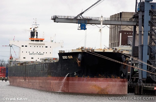
Vessel profile: CHAILEASE BLOSSOM is a Bulk Carrier with dimensions m x m.
This page combines live AIS, route history, probable destination signals, nearby traffic, and port activity for practical vessel monitoring.
The current position of vessel CHAILEASE BLOSSOM is 46.20833 lat / -123.80167 lng. Updated: 2026-05-20 04:21:17 UTCNearest reference points:
- Near Astoria
- Near WARRENTON
- Near Grays River
Currently sailing under the flag of Liberia ![]()
Details:
Live Vessel CHAILEASE BLOSSOM Analytics (details, animations, etc.)
Recent AIS points (UTC):
2026-05-20 01:15:18 UTC · 46.20833, -123.79500 · SOG 0 kn · COG -1°2026-05-20 01:31:44 UTC · 46.20840, -123.79724 · SOG 0.1 kn · COG 332°
2026-05-20 04:15:16 UTC · 46.20833, -123.80167 · SOG 0 kn · COG -1°
2026-05-20 04:21:17 UTC · 46.20833, -123.80167 · SOG 0 kn · COG -1°