 OCEAN BEGONIA
Current Status
Where is the vessel?
OCEAN BEGONIA is currently in Near Haldia, based on AIS data received about 15h ago.
Latest AIS update:
Current position: 22.02923° N, 88.08733° E (Near Haldia)
Average speed (last 7 days): Loading…
Average speed (last 30 days): Loading…
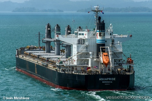
Vessel profile: OCEAN BEGONIA is a Bulk Carrier with dimensions m x m.
This page combines live AIS, route history, probable destination signals, nearby traffic, and port activity for practical vessel monitoring.
The current position of vessel OCEAN BEGONIA is 22.02923 lat / 88.08733 lng. Updated: 2026-05-18 19:53:34 UTCNearest reference points:
- Near Haldia
- 16 nm SE of Contai
- Near Calcutta
Currently sailing under the flag of Liberia ![]()
Details:
Live Vessel OCEAN BEGONIA Analytics (details, animations, etc.)
Recent AIS points (UTC):
2026-05-18 19:01:50 UTC · 22.02519, 88.08126 · SOG 2.2 kn · COG 29°2026-05-18 19:01:50 UTC · 22.02519, 88.08126 · SOG 2.2 kn · COG 29°
2026-05-18 19:53:34 UTC · 22.02923, 88.08733 · SOG 0 kn · COG 12°
2026-05-18 19:53:34 UTC · 22.02923, 88.08733 · SOG 0 kn · COG 12°