 DREAM
DREAM
Current Status
Where is the vessel?
DREAM is currently in Near South Uist and Eriskay, based on AIS data received about 14h ago.
Latest AIS update:
Current position: 57.08499° N, 7.07514° W (Near South Uist and Eriskay)
Average speed (last 7 days): Loading…
Average speed (last 30 days): Loading…
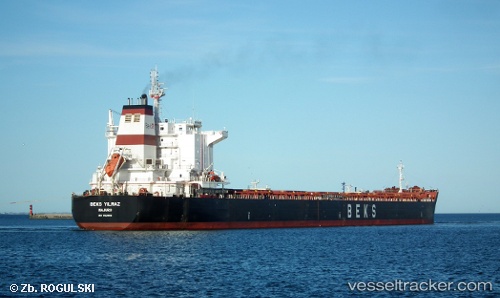
Vessel profile: DREAM is a Bulk Carrier with dimensions m x m.
This page combines live AIS, route history, probable destination signals, nearby traffic, and port activity for practical vessel monitoring.
The current position of vessel DREAM is 57.08499 lat / -7.07514 lng. Updated: 2026-05-20 07:21:51 UTCNearest reference points:
- Near North Harris
- Near Fishnish, Isle of Mull
- Near KYLE OF LOCHALSH
Currently sailing under the flag of Barbados ![]()
Details:
Live Vessel DREAM Analytics (details, animations, etc.)
Recent AIS points (UTC):
2026-05-20 04:19:31 UTC · 57.60849, -6.82453 · SOG 11.1 kn · COG 195°2026-05-20 04:36:20 UTC · 57.55809, -6.85109 · SOG 11.2 kn · COG 200°
2026-05-20 05:52:41 UTC · 57.33750, -6.96962 · SOG 10.7 kn · COG 190°
2026-05-20 07:21:51 UTC · 57.08499, -7.07514 · SOG 10.6 kn · COG 194°