 vesseltracker.com
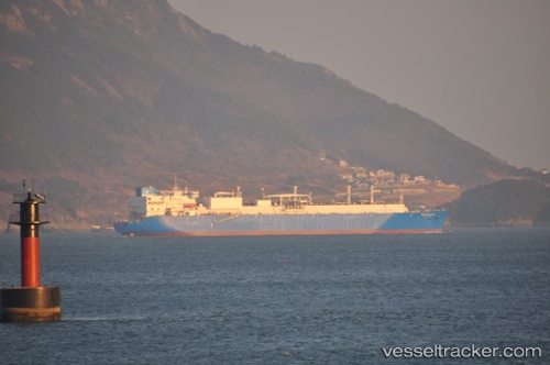
 VALERA
Current Status
Where is the vessel?
VALERA is currently in 160 nm W of Port Etienne, based on AIS data received about 15h ago.
Latest AIS update:
Current position: 20.26155° N, 19.88677° W (160 nm W of Port Etienne)
Average speed (last 7 days): Loading…
Average speed (last 30 days): Loading…
Vessel profile: VALERA is a Lng Tanker with dimensions m x m.
This page combines live AIS, route history, probable destination signals, nearby traffic, and port activity for practical vessel monitoring.
The current position of vessel VALERA is 20.26155 lat / -19.88677 lng. Updated: 2026-05-17 22:20:31 UTCNearest reference points:
- 176 nm NE of Ilha do Sal
- 108 nm SW of Port Etienne
- 41 nm NW of Nouadhibou
Currently sailing under the flag of Oman ![]()
Details:
Live Vessel VALERA Analytics (details, animations, etc.)
Recent AIS points (UTC):
2026-05-17 19:37:18 UTC · 19.63221, -19.71727 · SOG 14.1 kn · COG 348°2026-05-17 19:37:18 UTC · 19.63221, -19.71727 · SOG 14.1 kn · COG 348°
2026-05-17 22:00:53 UTC · 20.18512, -19.86547 · SOG 14.4 kn · COG 349°
2026-05-17 22:20:31 UTC · 20.26155, -19.88677 · SOG 14.2 kn · COG 349°