 OCEAN ARSENAL
Current Status
Where is the vessel?
OCEAN ARSENAL is currently in Near Ghazaouet, based on AIS data received about 15h ago.
Latest AIS update:
Current position: 35.13439° N, 1.86175° W (Near Ghazaouet)
Average speed (last 7 days): Loading…
Average speed (last 30 days): Loading…
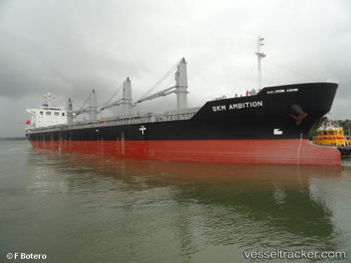
Vessel profile: OCEAN ARSENAL is a Bulk Carrier with dimensions m x m.
This page combines live AIS, route history, probable destination signals, nearby traffic, and port activity for practical vessel monitoring.
The current position of vessel OCEAN ARSENAL is 35.13439 lat / -1.86175 lng. Updated: 2026-05-19 18:05:58 UTCNearest reference points:
- 28 nm N of Melilla
- 37 nm S of Las Noras de Daza
- 27 nm SE of El Alquian
Currently sailing under the flag of Barbados ![]()
Details:
Live Vessel OCEAN ARSENAL Analytics (details, animations, etc.)
Recent AIS points (UTC):
2026-05-19 13:33:01 UTC · 35.13388, -1.86123 · SOG 0 kn · COG 253°2026-05-19 15:53:55 UTC · 35.13408, -1.86164 · SOG 0 kn · COG 253°
2026-05-19 17:09:04 UTC · 35.13425, -1.86152 · SOG 0 kn · COG 243°
2026-05-19 18:05:58 UTC · 35.13439, -1.86175 · SOG 0 kn · COG 237°