 JAG PRANESH
Current Status
Where is the vessel?
JAG PRANESH is currently in 68 nm NE of Darnah, based on AIS data received about 14h ago.
Latest AIS update:
Current position: 33.64132° N, 23.49374° E (68 nm NE of Darnah)
Average speed (last 7 days): Loading…
Average speed (last 30 days): Loading…
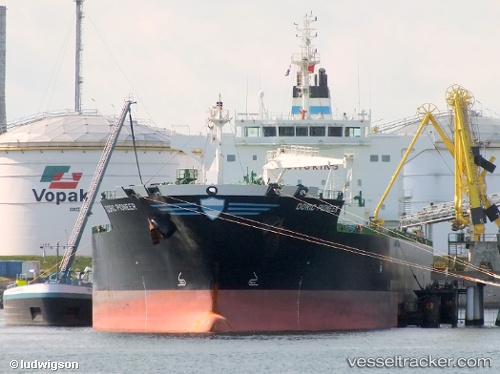
Vessel profile: JAG PRANESH is a Oil/Chemical Tanker with dimensions m x m.
This page combines live AIS, route history, probable destination signals, nearby traffic, and port activity for practical vessel monitoring.
The current position of vessel JAG PRANESH is 33.64132 lat / 23.49374 lng. Updated: 2026-05-21 13:52:18 UTCNearest reference points:
- 67 nm S of Kali Limenes
- 59 nm W of Paleochora
- 85 nm W of Paleochora
Currently sailing under the flag of Marshall Islands ![]()
Details:
Live Vessel JAG PRANESH Analytics (details, animations, etc.)
Recent AIS points (UTC):
2026-05-21 10:49:38 UTC · 33.73317, 24.21955 · SOG 11.9 kn · COG 264°2026-05-21 11:25:18 UTC · 33.71440, 24.08037 · SOG 11.8 kn · COG 261°
2026-05-21 13:05:27 UTC · 33.65277, 23.68184 · SOG 12 kn · COG 268°
2026-05-21 13:52:18 UTC · 33.64132, 23.49374 · SOG 12.6 kn · COG 268°