 MUKAVEMET
Current Status
Where is the vessel?
MUKAVEMET is currently in 84 nm NW of Bartin, based on AIS data received about 15h ago.
Latest AIS update:
Current position: 42.83073° N, 31.14481° E (84 nm NW of Bartin)
Average speed (last 7 days): Loading…
Average speed (last 30 days): Loading…
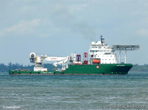
Vessel profile: MUKAVEMET is a Other Type with dimensions m x m.
This page combines live AIS, route history, probable destination signals, nearby traffic, and port activity for practical vessel monitoring.
The current position of vessel MUKAVEMET is 42.83073 lat / 31.14481 lng. Updated: 2026-05-21 11:16:39 UTCNearest reference points:
- Near Erdemir
- 54 nm SE of Sveti Nikola
- 45 nm N of RUMELI FENERI
Currently sailing under the flag of Turkey ![]()
Details:
Live Vessel MUKAVEMET Analytics (details, animations, etc.)
Recent AIS points (UTC):
2026-05-21 08:09:19 UTC · 42.82416, 31.16043 · SOG 7.3 kn · COG 295°2026-05-21 09:45:22 UTC · 42.82864, 31.14645 · SOG 0 kn · COG 315°
2026-05-21 10:46:19 UTC · 42.82947, 31.14585 · SOG 0.3 kn · COG 315°
2026-05-21 11:16:39 UTC · 42.83073, 31.14481 · SOG 0 kn · COG 315°