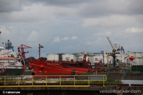
 Chem Rotterdam
Current Status
Where is the vessel?
Chem Rotterdam is currently in 24 nm NW of WALVIS BAY, based on AIS data received about 15h ago.
Latest AIS update:
Current position: 22.60106° S, 14.26760° E (24 nm NW of WALVIS BAY)
Average speed (last 7 days): Loading…
Average speed (last 30 days): Loading…
Vessel profile: Chem Rotterdam is a Chemical Oil Products Tanker with dimensions 141m x 24m.
This page combines live AIS, route history, probable destination signals, nearby traffic, and port activity for practical vessel monitoring.
The current position of vessel Chem Rotterdam is -22.60106 lat / 14.26760 lng. Updated: 2026-05-20 02:04:58 UTCNearest reference points:
- Near WALVIS BAY
Currently sailing under the flag of Marshall Is ![]()
Chem Rotterdam built in 2014 year
Deadweight:
19800 tDetails:
Live Vessel Chem Rotterdam Analytics (details, animations, etc.)
Recent AIS points (UTC):
2026-05-19 22:45:27 UTC · -22.89121, 14.47284 · SOG 0 kn · COG 197°2026-05-19 23:59:37 UTC · -22.89413, 14.47298 · SOG 2.2 kn · COG 152°
2026-05-20 01:08:38 UTC · -22.74294, 14.41480 · SOG 12.2 kn · COG 316°
2026-05-20 02:04:58 UTC · -22.60106, 14.26760 · SOG 12.7 kn · COG 314°