 NEPTUNE HP66
Current Status
Where is the vessel?
NEPTUNE HP66 is currently in Near Campha, based on AIS data received about 14h ago.
Latest AIS update:
Current position: 20.98387° N, 107.37411° E (Near Campha)
Average speed (last 7 days): Loading…
Average speed (last 30 days): Loading…
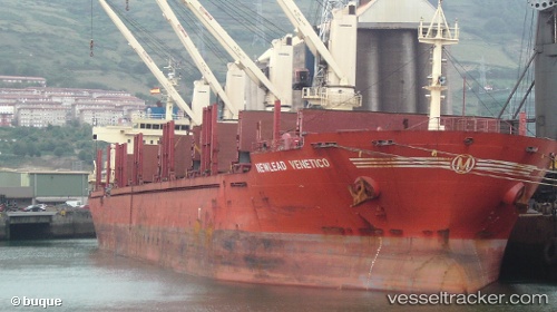
Vessel profile: NEPTUNE HP66 is a Bulk Carrier with dimensions m x m.
This page combines live AIS, route history, probable destination signals, nearby traffic, and port activity for practical vessel monitoring.
The current position of vessel NEPTUNE HP66 is 20.98387 lat / 107.37411 lng. Updated: 2026-05-20 10:43:22 UTCNearest reference points:
- 13 nm E of Campha
- 18 nm SE of Ha Long
- 24 nm SE of Campha
Currently sailing under the flag of Panama ![]()
Details:
Live Vessel NEPTUNE HP66 Analytics (details, animations, etc.)
Recent AIS points (UTC):
2026-05-20 07:31:25 UTC · 20.98423, 107.37394 · SOG 0.1 kn · COG 219°2026-05-20 07:49:16 UTC · 20.98379, 107.37429 · SOG 0.2 kn · COG 238°
2026-05-20 09:31:23 UTC · 20.98366, 107.37440 · SOG 0.1 kn · COG 248°
2026-05-20 10:43:22 UTC · 20.98387, 107.37411 · SOG 0.1 kn · COG 227°