 vesseltracker.com
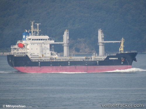
 CAN S
CAN S
Current Status
Where is the vessel?
CAN S is currently in Near Haifa, based on AIS data received about 14h ago.
Latest AIS update:
Current position: 32.81473° N, 35.03085° E (Near Haifa)
Average speed (last 7 days): Loading…
Average speed (last 30 days): Loading…
Vessel profile: CAN S is a Other Type with dimensions m x m.
This page combines live AIS, route history, probable destination signals, nearby traffic, and port activity for practical vessel monitoring.
The current position of vessel CAN S is 32.81473 lat / 35.03085 lng. Updated: 2026-05-18 13:34:05 UTCNearest reference points:
- Near Haifa
- 22 nm W of Haifa Granaries
- Near DBAIYEH
Currently sailing under the flag of Liberia ![]()
Details:
Live Vessel CAN S Analytics (details, animations, etc.)
Recent AIS points (UTC):
2026-05-18 10:31:40 UTC · 32.81471, 35.03081 · SOG 0 kn · COG 340°2026-05-18 12:10:31 UTC · 32.81473, 35.03086 · SOG 0.1 kn · COG 340°
2026-05-18 12:33:14 UTC · 32.81469, 35.03086 · SOG 0 kn · COG 340°
2026-05-18 13:34:05 UTC · 32.81473, 35.03085 · SOG 0 kn · COG 340°