 ICONSHIP
Current Status
Where is the vessel?
ICONSHIP is currently in 169 nm NE of Coral Sea, based on AIS data received about 14h ago.
Latest AIS update:
Current position: 16.77353° S, 152.58820° E (169 nm NE of Coral Sea)
Average speed (last 7 days): Loading…
Average speed (last 30 days): Loading…
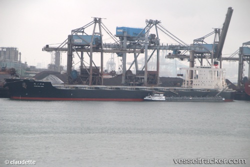
Vessel profile: ICONSHIP is a Bulker with dimensions m x m.
This page combines live AIS, route history, probable destination signals, nearby traffic, and port activity for practical vessel monitoring.
The current position of vessel ICONSHIP is -16.77353 lat / 152.58820 lng. Updated: 2026-05-18 22:09:01 UTCNearest reference points:
- 153 nm NE of Coral Sea
- 209 nm N of Coral Sea
Currently sailing under the flag of Liberia ![]()
Details:
Live Vessel ICONSHIP Analytics (details, animations, etc.)
Recent AIS points (UTC):
2026-05-18 19:03:55 UTC · -17.30718, 152.64828 · SOG 10.2 kn · COG 352°2026-05-18 19:18:17 UTC · -17.26672, 152.64352 · SOG 10.2 kn · COG 352°
2026-05-18 21:51:26 UTC · -16.82477, 152.59180 · SOG 10.5 kn · COG 356°
2026-05-18 22:09:01 UTC · -16.77353, 152.58820 · SOG 10.6 kn · COG 356°