 SAINT NICHOLAS
Current Status
Where is the vessel?
SAINT NICHOLAS is currently in 27 nm SW of Rabigh, based on AIS data received about 16h ago.
Latest AIS update:
Current position: 22.48615° N, 38.56913° E (27 nm SW of Rabigh)
Average speed (last 7 days): Loading…
Average speed (last 30 days): Loading…
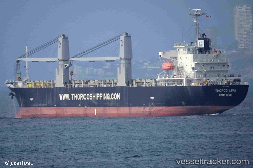
Vessel profile: SAINT NICHOLAS is a General Cargo Ship with dimensions 132m x 132m.
This page combines live AIS, route history, probable destination signals, nearby traffic, and port activity for practical vessel monitoring.
The current position of vessel SAINT NICHOLAS is 22.48615 lat / 38.56913 lng. Updated: 2026-05-22 03:51:21 UTCNearest reference points:
- Near Rabigh
- Near King Abdullah
- Near King Abdullah City
Currently sailing under the flag of Marshall Islands ![]()
SAINT NICHOLAS built in 2012 year
Deadweight:
16901 tDetails:
Live Vessel SAINT NICHOLAS Analytics (details, animations, etc.)
Recent AIS points (UTC):
2026-05-21 21:46:14 UTC · 22.51122, 38.52483 · SOG 0.5 kn · COG 228°2026-05-22 01:55:52 UTC · 22.48615, 38.56913 · SOG 0.9 kn · COG 243°
2026-05-22 03:21:19 UTC · 22.48615, 38.56913 · SOG 0.8 kn · COG -1°
2026-05-22 03:51:21 UTC · 22.48615, 38.56913 · SOG 0.8 kn · COG -1°