 Harvest Time
Current Status
Where is the vessel?
Harvest Time is currently in 86 nm SW of Port Alice, based on AIS data received about 14h ago.
Latest AIS update:
Current position: 49.45656° N, 129.14326° W (86 nm SW of Port Alice)
Average speed (last 7 days): Loading…
Average speed (last 30 days): Loading…
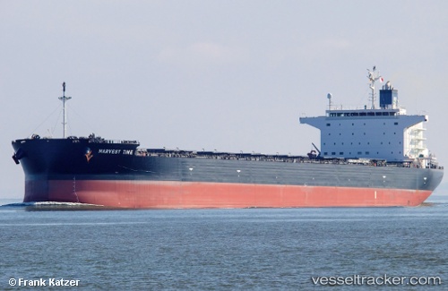
Vessel profile: Harvest Time is a Bulk Carrier with dimensions 237m x 40m.
This page combines live AIS, route history, probable destination signals, nearby traffic, and port activity for practical vessel monitoring.
The current position of vessel Harvest Time is 49.45656 lat / -129.14326 lng. Updated: 2026-05-23 07:40:32 UTCNearest reference points:
- 29 nm NW of Coal Harbour
- Near PORT HARDY
- 63 nm N of PORT HARDY
Currently sailing under the flag of Marshall Is ![]()
Details:
Live Vessel Harvest Time Analytics (details, animations, etc.)
Recent AIS points (UTC):
2026-05-23 05:02:38 UTC · 49.66254, -129.88634 · SOG 12.1 kn · COG 113°2026-05-23 05:58:49 UTC · 49.58601, -129.62831 · SOG 12 kn · COG 113°
2026-05-23 07:17:32 UTC · 49.48655, -129.25339 · SOG 12.1 kn · COG 111°
2026-05-23 07:40:32 UTC · 49.45656, -129.14326 · SOG 12 kn · COG 111°