 vesseltracker.com
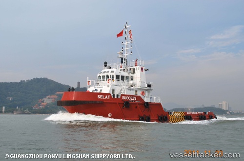
 SEA SCARF 1
Current Status
Where is the vessel?
SEA SCARF 1 is currently in 23 nm NE of Mubarraz Island, based on AIS data received about 14h ago.
Latest AIS update:
Current position: 24.69848° N, 53.85491° E (23 nm NE of Mubarraz Island)
Average speed (last 7 days): Loading…
Average speed (last 30 days): Loading…
Vessel profile: SEA SCARF 1 is a Tug with dimensions 10m x 36m.
This page combines live AIS, route history, probable destination signals, nearby traffic, and port activity for practical vessel monitoring.
The current position of vessel SEA SCARF 1 is 24.69848 lat / 53.85491 lng. Updated: 2026-05-18 03:20:31 UTCNearest reference points:
- Near Esnnad
- Near KHALIFA
- 11 nm SW of Fateh Terminal
Currently sailing under the flag of St.Kitts and Nevis ![]()
SEA SCARF 1 built in 2011 year
Deadweight:
308 tDetails:
Live Vessel SEA SCARF 1 Analytics (details, animations, etc.)
Recent AIS points (UTC):
2026-05-18 03:20:31 UTC · 24.69848, 53.85491 · SOG 1.8 kn · COG -1°2026-05-18 03:20:31 UTC · 24.69848, 53.85491 · SOG 1.8 kn · COG -1°
2026-05-18 03:20:31 UTC · 24.69848, 53.85491 · SOG 1.8 kn · COG -1°
2026-05-18 03:20:31 UTC · 24.69848, 53.85491 · SOG 1.8 kn · COG -1°