 NORDIC NANJING
Current Status
Where is the vessel?
NORDIC NANJING is currently in 47 nm SW of Pimentel, based on AIS data received about 14h ago.
Latest AIS update:
Current position: 7.43385° S, 80.46685° W (47 nm SW of Pimentel)
Average speed (last 7 days): Loading…
Average speed (last 30 days): Loading…
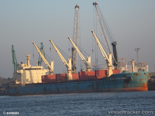
Vessel profile: NORDIC NANJING is a Bulk Carrier with dimensions m x m.
This page combines live AIS, route history, probable destination signals, nearby traffic, and port activity for practical vessel monitoring.
The current position of vessel NORDIC NANJING is -7.43385 lat / -80.46685 lng. Updated: 2026-05-20 17:54:33 UTCNearest reference points:
- 81 nm SW of Chimbote
- Near PAITA
- 75 nm SW of Talara
Currently sailing under the flag of Liberia ![]()
Details:
Live Vessel NORDIC NANJING Analytics (details, animations, etc.)
Recent AIS points (UTC):
2026-05-20 14:03:12 UTC · -6.93069, -80.89327 · SOG 11 kn · COG 137°2026-05-20 16:24:02 UTC · -7.25068, -80.62506 · SOG 10.3 kn · COG 135°
2026-05-20 16:44:51 UTC · -7.29411, -80.58751 · SOG 9.9 kn · COG 134°
2026-05-20 17:54:33 UTC · -7.43385, -80.46685 · SOG 9.5 kn · COG 134°