 DS MYKONOS
Current Status
Where is the vessel?
DS MYKONOS is currently in Near Porto Di Brindisi, based on AIS data received about 15h ago.
Latest AIS update:
Current position: 40.74198° N, 18.08600° E (Near Porto Di Brindisi)
Average speed (last 7 days): Loading…
Average speed (last 30 days): Loading…
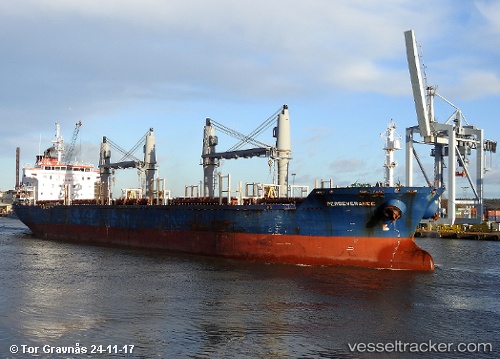
Vessel profile: DS MYKONOS is a Bulk Carrier with dimensions m x m.
This page combines live AIS, route history, probable destination signals, nearby traffic, and port activity for practical vessel monitoring.
The current position of vessel DS MYKONOS is 40.74198 lat / 18.08600 lng. Updated: 2026-05-20 22:02:03 UTCNearest reference points:
- Near Porto Di Brindisi
- Near Monopoli
- 22 nm W of Fier
Currently sailing under the flag of Marshall Islands ![]()
Details:
Live Vessel DS MYKONOS Analytics (details, animations, etc.)
Recent AIS points (UTC):
2026-05-20 16:23:19 UTC · 41.14082, 16.86971 · SOG 0 kn · COG 134°2026-05-20 17:38:51 UTC · 41.17168, 16.89738 · SOG 13.2 kn · COG 98°
2026-05-20 19:03:14 UTC · 41.04183, 17.28955 · SOG 13.8 kn · COG 116°
2026-05-20 22:02:03 UTC · 40.74198, 18.08600 · SOG 13.7 kn · COG 117°