 PAGODA
Current Status
Where is the vessel?
PAGODA is currently in Near Douala, based on AIS data received about 15h ago.
Latest AIS update:
Current position: 4.05383° N, 9.69104° E (Near Douala)
Average speed (last 7 days): Loading…
Average speed (last 30 days): Loading…
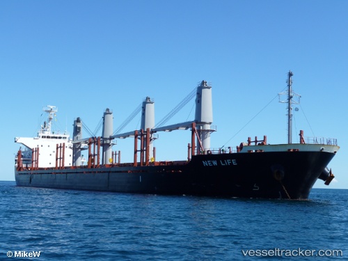
Vessel profile: PAGODA is a Bulk Carrier with dimensions m x m.
This page combines live AIS, route history, probable destination signals, nearby traffic, and port activity for practical vessel monitoring.
The current position of vessel PAGODA is 4.05383 lat / 9.69104 lng. Updated: 2026-05-19 06:04:17 UTCNearest reference points:
- Near Victoria
- Near Moudi Terminal
- Near Calabar
Currently sailing under the flag of Cyprus ![]()
Details:
Live Vessel PAGODA Analytics (details, animations, etc.)
Recent AIS points (UTC):
2026-05-19 01:52:17 UTC · 4.05387, 9.69102 · SOG 0 kn · COG 38°2026-05-19 03:58:17 UTC · 4.05387, 9.69103 · SOG 0 kn · COG 37°
2026-05-19 04:13:17 UTC · 4.05388, 9.69100 · SOG 0 kn · COG 37°
2026-05-19 06:04:17 UTC · 4.05383, 9.69104 · SOG 0 kn · COG 37°